
Drone Imagery for Building Surveyors
Surveyor-Led Drone Imagery
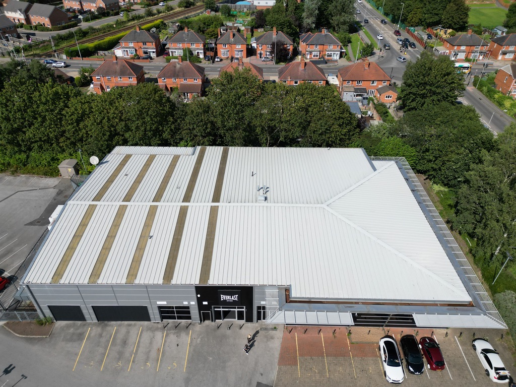
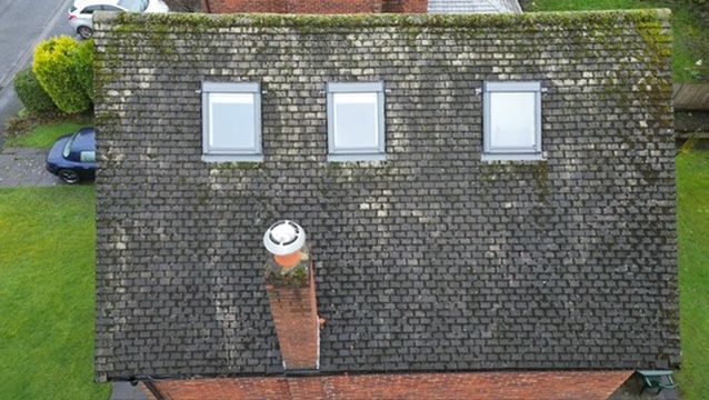
Roof and high-level imagery captured by a chartered building surveyor, so you get what you need at the desk, first time.
I support building surveyors across Greater Manchester, Yorkshire and Merseyside with clear, organised imagery for commercial, industrial and residential instructions, delivered within 48 hours.
Imagery for Every Instruction
- Dilapidations: roof coverings, parapets, gutters and elevations recorded in detail.
- Technical due diligence: fast, complete high-level coverage ahead of acquisition.
- Schedules of condition: a dated, comprehensive visual record at lease start.
- PPM: consistent, repeatable imagery to inform and update maintenance plans.
- Project progress reporting: fixed viewpoints to track works over time.
How It Works
1. Brief
Brief me as you would a colleague: the property, access arrangements and what your report needs.
2. Capture
Every flight is planned and risk-assessed, then flown to a consistent shot sequence.
3. Delivery
Organised imagery delivered via secure Dropbox link within 48 hours.
Every Capture Covers
- Roof coverings
- Ridges, hips and valleys
- Flashings and abutments
- Chimneys and penetrations
- Gutters, outlets and downpipes
- Parapets and copings
- Fascias and soffits
- Elevations and cladding
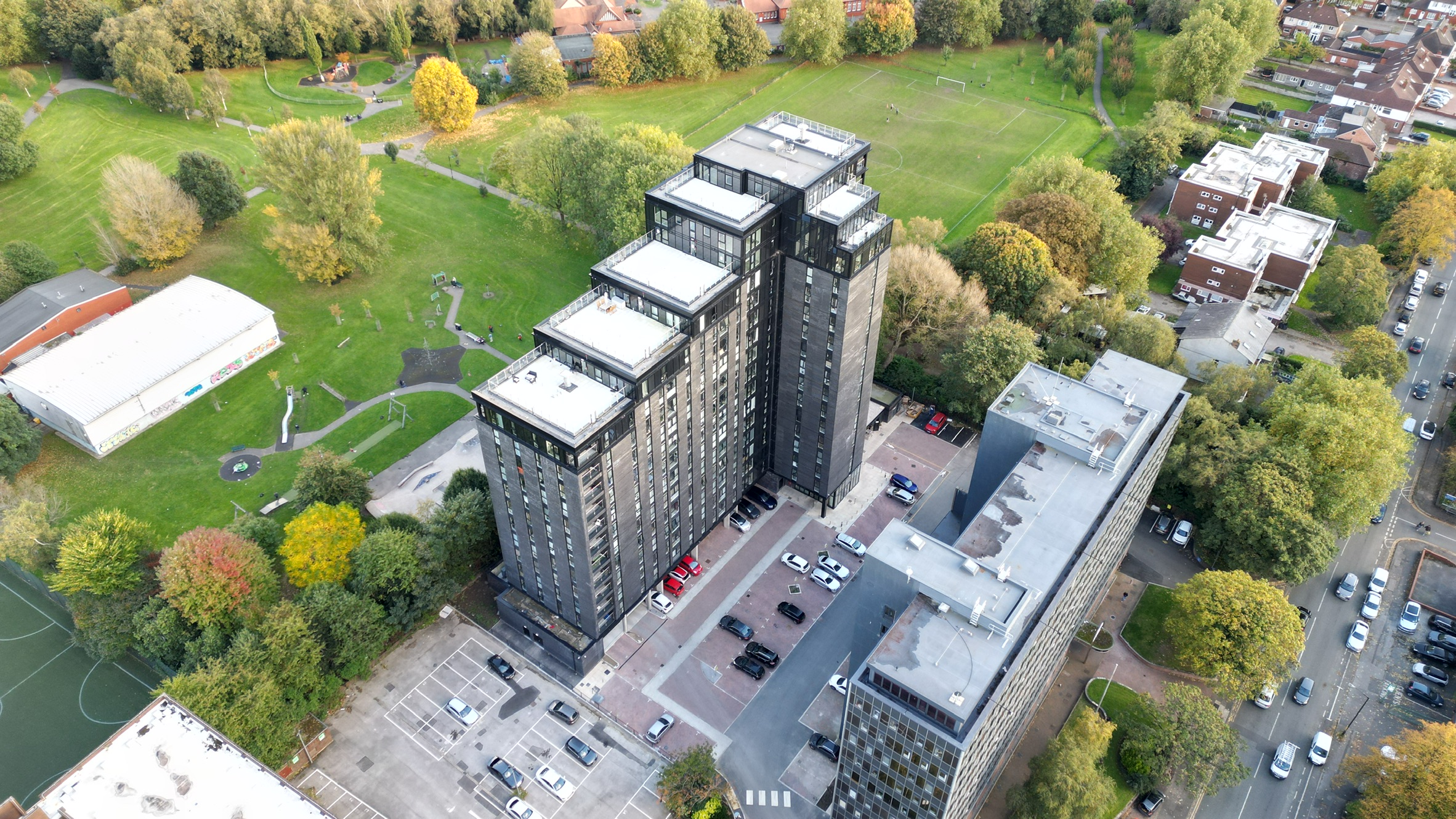
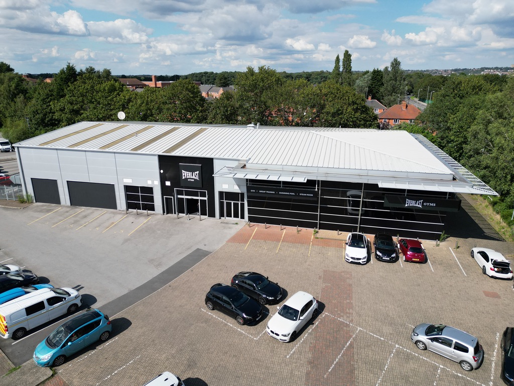
- Overlapping image runs
Pricing
Commercial and surveyor instructions are priced per building and quoted within 24 hours.
Send me the address and what the instruction needs, and I’ll come back to you the same day.
Ready to book?
Clear, organised drone imagery of roofs, elevations and hard-to-reach areas, delivered within 48 hours. Whether you’re a surveyor, property manager or homeowner, I’ll capture what you need first time.
Need imagery for your next inspection?
Get Free Quote
Tell me about the property and what you need, and I’ll come back with a quote.
Service clarification
Disclaimer
Aerial Motion Photography provides specialist drone-based visual inspection services, delivering high-quality imagery for building assessments.
Our services are strictly limited to data collection and do not include professional advice, interpretation, or formal surveying. All imagery and data are provided for informational purposes only and should not be relied upon as a substitute for professional guidance.
Our drone operations comply fully with CAA regulations and are covered by comprehensive insurance.